UN/LOCODE USLGB: Port of Port of Long Beach, United States — Seaport
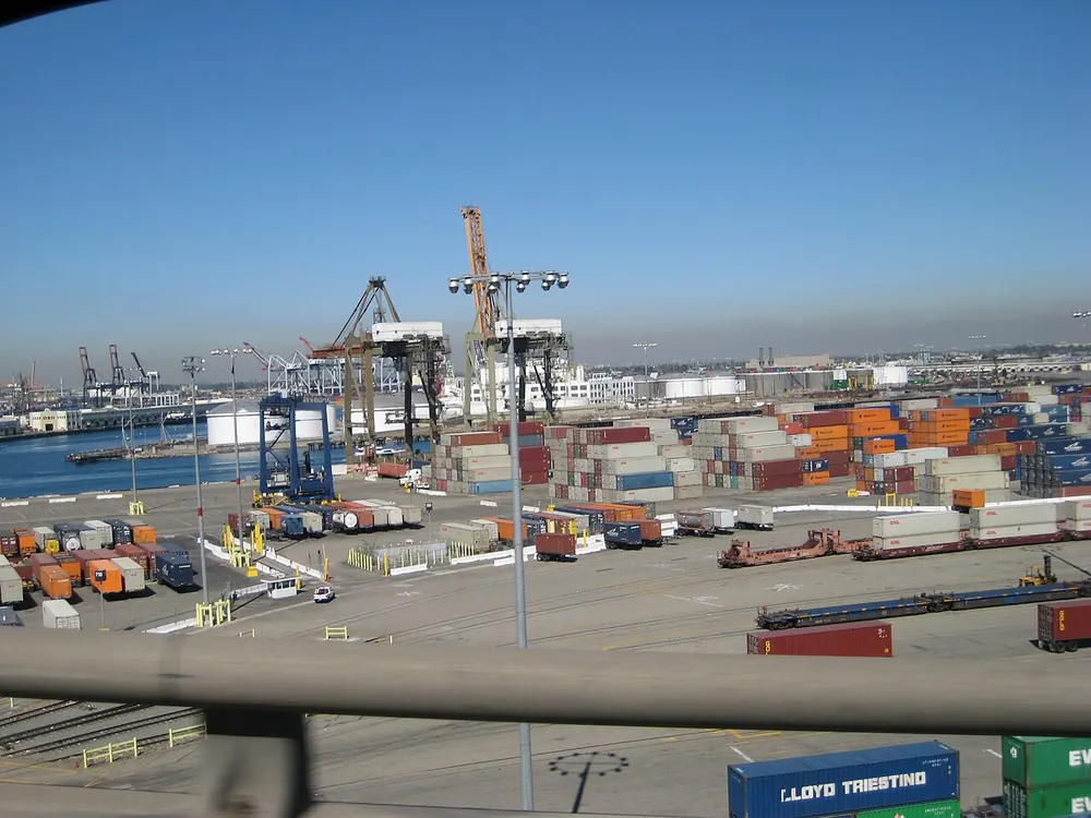
Location
| Coordinates | 33.75, -118.21 |
|---|---|
| Country | United States |
| Function | Major trans-Pacific trade hub with the greenest port policies in North America. |
| Authority | Port of Long Beach |
Physical Specifications
| Max Draft | 16.5 |
|---|---|
| Channel Depth | 17.0 |
| Tide Range | 1.8 |
| Berth Length | 400 |
| Anchorage Depth | 18.0 |
Administrative
| Customs Code | USLGB |
|---|---|
| IMO Facility No. | Yes |
| Working Hours | 24/7 |
| ISPS Compliance | Yes |
| VHF Channel | 12 |
| Port Website | polb.com |
Commercial & Logistics
| Annual Volume | 9100000 |
|---|---|
| Primary Cargo Types | Container, Vehicles |
| Vessel Types | Container, RoRo |
| Free Trade Zone | Yes |
| Bunker Fuel | Yes |
| Nearest Airport | LGB 5km |
| Rail Connection | Yes |
| Highway Access | I-710 |
| Inland Depots | Pier T, Pier J |
Trade Intelligence: Port of Long Beach
Port of Long Beach is classified as a Seaport with annual throughput of 9100000. The port handles Container, Vehicles. As Major trans-Pacific trade hub with the greenest port policies in North America., Port of Long Beach plays a critical role in United States's trade infrastructure. Shippers should confirm berth availability, draft restrictions, and ISPS security levels directly with Port of Long Beach before scheduling vessel calls.
Port History
Opened in 1911, Long Beach is the second-busiest US container port and neighbor to Los Angeles.
Authority: Port of Long Beach
Other Ports in United States
Frequently Asked Questions
What is the LOCODE for Port of Long Beach?
The UN/LOCODE is USLGB. Use in bills of lading and customs declarations.
What trade routes connect to Port of Long Beach?
Port of Long Beach serves as Major trans-Pacific trade hub with the greenest port policies in North America.. Alameda Corridor rail, I-710 direct to Los Angeles intermodal yards.
How do I find shipping schedules?
Contact Port of Long Beach or query carriers (Maersk, MSC, CMA CGM) using LOCODE USLGB.
Data Sources & Provenance
Port specifications compiled from:
- UNECE UN/LOCODE Directory — United Nations official location codes
- Port of Long Beach — official port authority
- IMO GISIS — maritime facility database
Updated: September 01, 2026. For reference only. Not for navigation.